Loading
Loading
SKU CUAV-CRTK2
Free shipping. Pan India delivery from Gurugram, Haryana.
Ships within 3–4 business days — quality-checked in Gurugram before dispatch
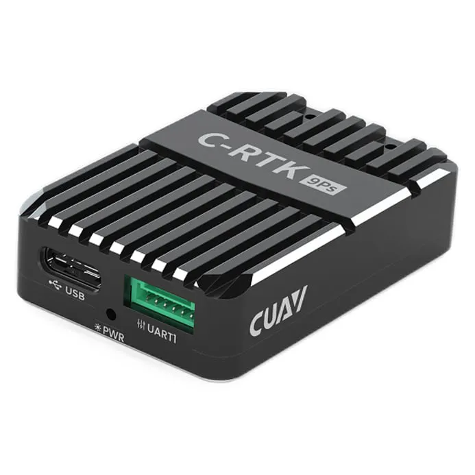
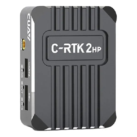
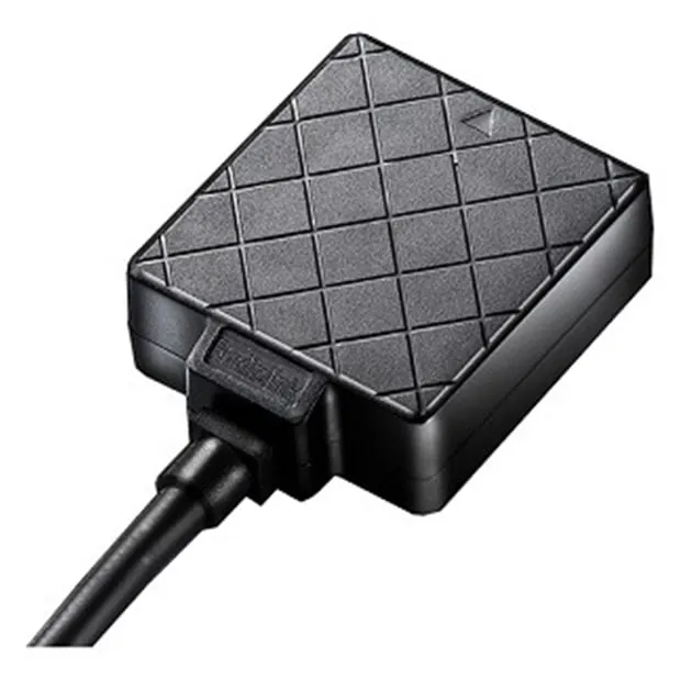
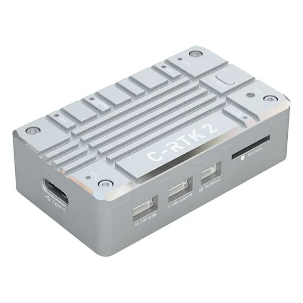
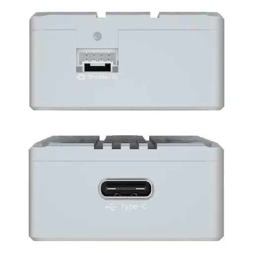
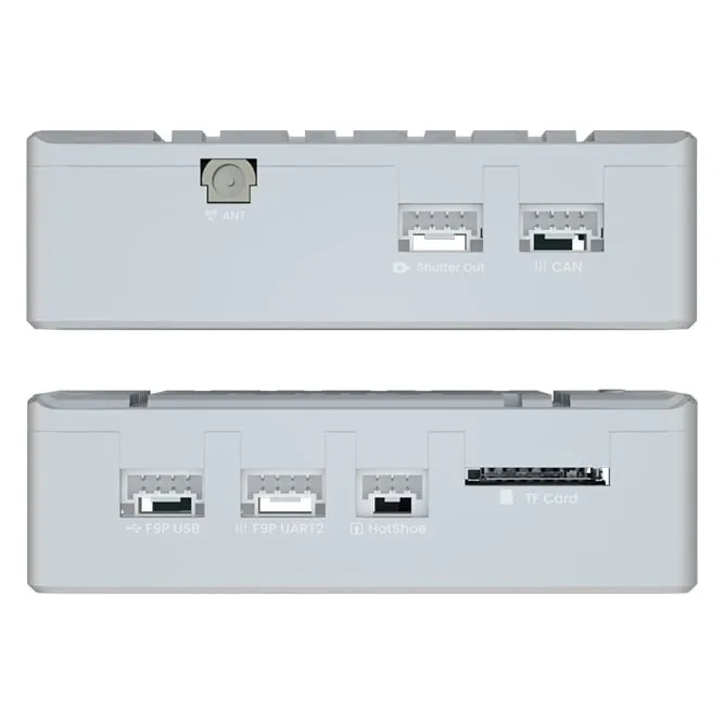
The CUAV C-RTK 2 is a dual-mode GNSS positioning module delivering centimeter-level accuracy for agricultural drones, surveying platforms, and autonomous long-range builds. Supporting both real-time kinematic (RTK) corrections via base station or NTRIP service and post-processed kinematic (PPK) workflows, it integrates with ArduPilot and PX4 flight controllers to enable precision waypoint navigation, field mapping, and georeferenced data capture on heavy-lift, fixed-wing, and agriculture drone applications.
Centimeter-level positioning accuracy with RTK and PPK correction modes
Multi-constellation GNSS receiver tracking GPS, GLONASS, Galileo, and BeiDou satellites
Native compatibility with ArduPilot and PX4 autopilot firmware via UART interface
Dual-mode operation: real-time RTK for live missions and PPK for post-flight data processing
Designed for drone builders requiring survey-grade positioning in precision agriculture, photogrammetry, and autonomous delivery systems. Pair with a compatible flight controller and either an RTK base station for real-time corrections or log raw data for PPK post-processing workflows.
Related